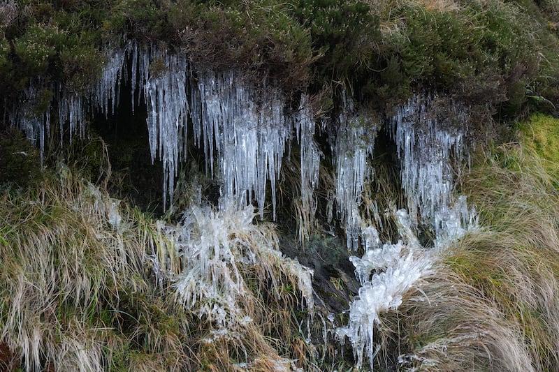
Met Éireann has said that heavy snow and easterly winds could lead to drifts in some areas in the coming days with the cold conditions set to take hold and last well into next week.
Widespread snow, sleet and rain combined with plummeting temperatures are all likely to make driving difficult over the next few days. Up to 10cm of snow is expected in some areas during what Met Éireann has described as a “multi weather hazard event”.
A number of severe weather warnings are in place with widespread rain and snow forecast for much of the country for the coming days.
A Status Orange rain and snow warning is in place for Cork, Kerry and Waterford until 5pm today while a Status Orange snow and ice warning is also in effect for the same period in counties Carlow, Kilkenny, Laois, Offaly, Wicklow, Clare, Limerick and Tipperary.
Ireland weather forecast: Sunny conditions to continue with temperatures to reach as high as 21 degrees
Europe just had warmest March on record
Plans to boost electricity grid resilience ahead of winter storm season to go to Cabinet
Heat and rains increase risk of disease as Myanmar earthquake death toll continues to rise
A Status Yellow snow ice warning is in place until 5pm today for Cavan, Donegal, Monaghan, Dublin, Kildare, Longford, Louth, Meath, Westmeath and Connacht. A Status Yellow rain and snow warning is also in effect for Wexford until 5pm today.
Keith Leonard, the national director of the National Directorate for Fire and Emergency Management, told RTÉ’s Six One News that there is uncertainty as to where heavy snow will fall.
“We are not sure exactly where the snow will fall. There is kind of a line across from Clare to Wicklow at the moment and everywhere below that seeks likely to get heavy snowfall.

“But people across the country really need to be prepared for that heavy snowfall. It could happen in any location.”
Mr Leonard said that driving conditions will continue to be “hazardous” even where roads are gritted.
“So I urge people to slow down, drive with caution, be aware of other road users and allow extra time for your journey. It is important that drivers travelling longer journeys are aware of conditions right along their route, as the weather may vary significantly across different parts of the country.
“Footpaths can also be extremely hazardous and slippery due to ice so please take extra care while walking. Public transport may also be affected by this spell of wintry weather, so I’d advise people to check with service operators for the latest updates in their area.”
Meanwhile, senior forecaster with Met Éireann Gerry Murphy said that whilst some places “might just get sleet everyone needs to be prepared for snow”.
“There are areas that will not get much snow tonight but will get snow as we go through tomorrow. Tomorrow night and Monday morning could be the most treacherous time of all simply because it is going to freeze with ice on top of lying snow on top of very wet surfaces.
“So really the next 24 to 36 hours people are going to have to take the utmost care and prepare for severe travel disruption.”
The Department of Education has indicated that a decision on whether schools will close on Monday will be a matter for individual school management authorities.
- Sign up for push alerts and have the best news, analysis and comment delivered directly to your phone
- Join The Irish Times on WhatsApp and stay up to date
- Listen to our Inside Politics podcast for the best political chat and analysis


