Swathes of the Golden State were doused in white this week as a historic storm cast much of the US in a bitter chill – and forecasters say there’s more frosty weather in store.
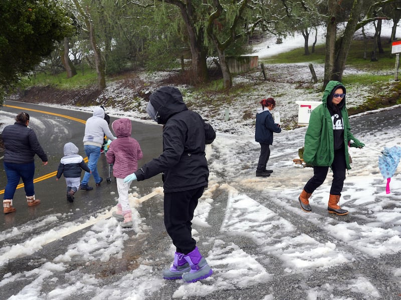
The snowstorm hovering over the southern part of California could end up becoming one for the record books as typically balmy areas brace for a barrage of more blizzard conditions and blustery winds. Across the state this week, the snowline has already crept far downslope from its winter territory atop high-elevation peaks, dusting foothills and valleys closer to the coast, and even some beaches.
“It is definitely the strongest storm we have had in many years,” said Eric Boldt, a warning co-ordination meteorologist for the National Weather Service in southern California. And it isn’t all bad news.
Along with adding to an already robust snowpack, which will be essential to navigate the drier days to come, the storms have sparked wonder and delight from Californians unaccustomed to winter weather. “Every time snow levels get low people get pretty excited in Los Angeles,” Mr Boldt said. “Some people have never even seen snow up close.”
Eric Adams, the New York mayor at the heart of Donald Trump’s attempt to reshape US justice department
Thanks to Trump, Saudi Arabia gets a big week in international diplomacy
Trump has flown US into turbulence and Americans aren’t sure where they’re going to land
Polls indicate German federal election will return Merkel-style coalition

The system, which drew arctic air from the north and picked up moisture over the Pacific, will also continue to unleash a unique cocktail of possible impacts, from flurries to floods. The wild weather has already left a mark.
Temperatures in San Francisco dipped beneath a record-low that’s held for more than a century as storms dumped historic amounts of snow across the San Francisco Bay area. By Friday afternoon, more than 101,000 California homes and businesses had lost power as the next wave of brutal weather threatened to bear down.
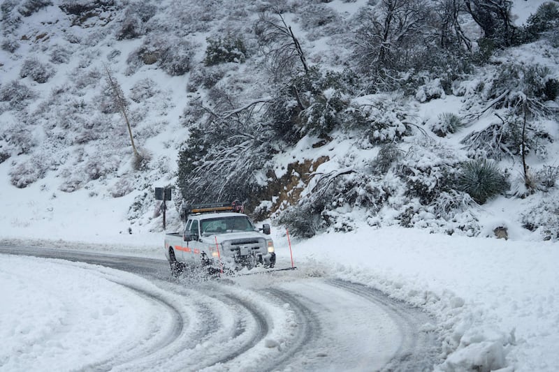
Transportation corridors stretching across the state were closed or clogged by icy and hazardous conditions, including Interstate 5 through a high-elevation section known as the Grapevine north of Los Angeles, which was shut down Friday morning due to the snow.
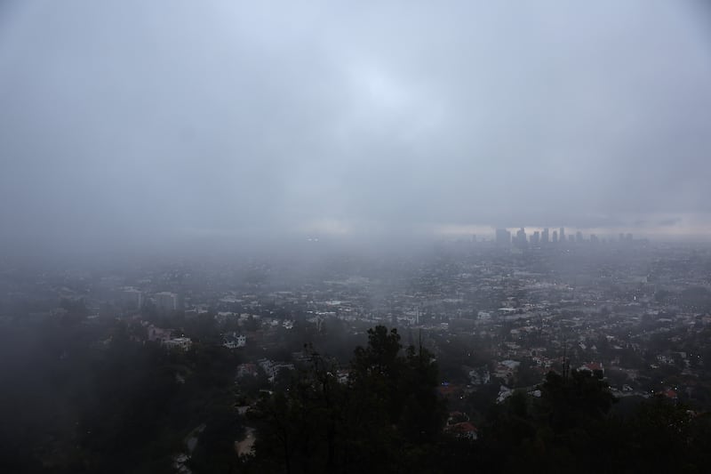
Even the famous Hollywood sign, housed atop hillsides over-looking Los Angeles, was dusted in white. Blizzard warnings were issued for the first time in San Diego county, and only the second time in Los Angeles county’s history, the last time being in 1989. The NWS even issued a tornado warning in the Los Angeles area, with a possible threat for “weak waterspouts over the coastal waters”.
Strong frigid winds are expected to topple trees and pull-down power lines, posing risks of more power outages, the agency said, while torrents of rain could cause flash flooding across terrain already saturated from strong storms at the start of the year.

Flood watches and warnings were in effect through Saturday afternoon for some coastal regions and valleys, and the potential for rainfall causing flooding and debris flow in some areas burned by wildfires in recent years.
The Oakland’s Bay Bridge and the San Francisco Bay are seen through snow-covered trees. Photograph: Carlos Barría/Reuters
“We haven’t seen a cold storm like this in southern California for a long time,” said Dr Dan McEvoy, a researcher with the Western Regional Climate Center, noting that the unique combination of atmospheric ingredients – cold, wind and moisture – have added to the phenomenon. “It is very rare and hasn’t happened in decades – if at all.”
But despite its attributes that make this system unique, it also fits into a wetter trend the west has been treated to this winter. “The atmosphere tends to get locked into patterns that persist,” McEvoy said, noting the series of severe storms that pummeled California in January.
And, while more research is required to determine the role of the climate crisis in setting the stage this storm, it does align with models that show an increase in extreme weather.

“It is definitely an outlier – and we are seeing more of those due to climate change,” said Greg Pierce, co-director and senior researcher at UCLA’s Luskin Center for Innovation.
The dousing also came as welcome reprieve. California hasn’t fully emerged from the grips of a prolonged and devastating drought, but the sudden onslaught of a very wet winter has relieved some of that pressure. More than a month ahead of the start of spring, when precipitation chances start to wane, the state’s snowpack stood at 144 per cent of its April 1st average on Friday. Reservoir levels are better than they have been in years, and the storms haven’t finished yet.
But, there’s still a long way to go.
“This storm is helping us stay ahead of pace – way ahead of pace than in recent years – but I still think we really need to see more,” said Pierce. “We were in a really extreme place and this [storm] just gets us back to buying a little more time as we make other major investments and continue to harden conservation.
“It’s great,” he added “but we can’t let up.” – Guardian


